
Words by Ruqin · September 15, 2026
Chongqing looks compact when you view central Yuzhong District on a map. However, distances on a flat screen can be misleading. A road that appears beside you may sit several floors above or below your current position.
For most visitors, the best approach is simple. Use the metro for longer journeys, walk within small sightseeing areas, and take a taxi when hills, luggage, rain, or tired legs make walking impractical.
You may still take a wrong turn. That is part of navigating Chongqing. The aim is not to avoid every mistake, but to prevent a small mistake from becoming a long uphill detour.
Why Chongqing Feels Difficult to Navigate
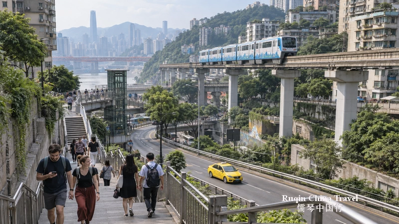
Chongqing developed between steep hills and two rivers. Roads follow different elevations, while bridges, tunnels, stairways, shopping centres, and residential buildings connect those levels.
As a result, two places can look close on a map but require a surprising amount of climbing. A metro exit may place you on the correct street but the wrong level. Meanwhile, a building entrance on one side may be several floors higher than another entrance.
This is most noticeable around Jiefangbei, Hongya Cave, Chaotianmen, Kuixinglou, and the older streets of Yuzhong District. These areas are rewarding to explore, but they are not suitable for hurried point-to-point walking.
Use the Metro as Your Main Transport
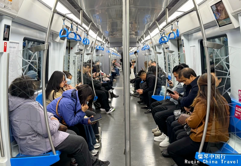
Chongqing Rail Transit is usually the easiest way to cover longer distances. The system connects the airport, major railway stations, central shopping districts, and many popular sights.

Chongqing Rail Transit map showing key stations and connections for major sightseeing areas.
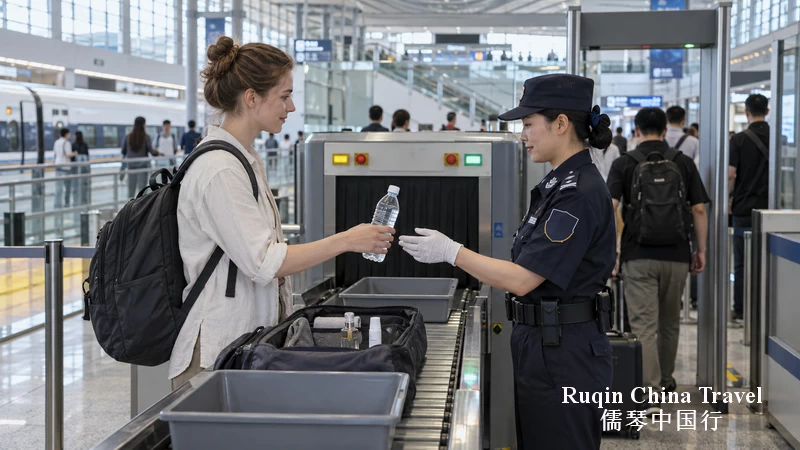
Station signs generally use both Chinese and English. Security checks take place before entering the paid area, so place bags on the scanner and keep liquids accessible if staff ask to inspect them.
Common sightseeing connections include:
| Place | Useful station | Line |
|---|---|---|
| Jiefangbei | Linjiangmen or Jiaochangkou | Lines 2 or 1/2 |
| Hongya Cave | Xiaoshizi or Linjiangmen | Lines 1/6 or 2 |
| Chaotianmen | Chaotianmen | Line 1 |
| Liziba viewing area | Liziba | Line 2 |
| Ciqikou Ancient Town | Ciqikou | Line 1 |
| Chongqing Zoo | Zoo Station | Line 2 |
| Chongqing North Railway Station | Chongqing North Station South Square or North Square | Check your train and metro route carefully |
| Jiangbei International Airport | Airport terminals are connected to the rail network | Check the terminal before departure |
Treat this table as orientation rather than a substitute for live directions. Line arrangements, exits, and temporary operating measures can change.
The Exit Number Matters
Choosing the correct station is only half the journey. In Chongqing, the exit number can determine whether you begin at the top or bottom of a slope.
Check the complete route before leaving the platform. Do not follow only the station name. Your map should show the exit, walking direction, and destination’s Chinese name.
If the route suddenly asks you to walk around a large block, pause before continuing. There may be a nearer entrance, lift, escalator, or passage through a shopping centre.
Allow Time for Transfers
Some transfers require more walking than the rail map suggests. Add at least ten minutes when changing lines, especially with luggage, children, or an older traveler.
During morning and evening commuting periods, central trains and interchange passages can become busy. If your schedule is flexible, travel outside the main rush hours.
Walking Works Best in Small Areas
Walking remains essential because many of Chongqing’s best street views appear between formal attractions. However, divide the city into small walking zones instead of designing one long route across central Chongqing.

Chongqing city walk map showing eight stops connected by walking, Metro Lines 2 and 6, and the Yangtze River Cableway.
A practical central area might include Jiefangbei, nearby local streets, Hongya Cave, and a river viewpoint. Chaotianmen can be added if you have enough time and energy, but it should not be treated as a quick extension merely because it looks close.
Ciqikou, Liziba, and the main Yuzhong sights belong to different areas. Trying to join them all on foot wastes time and adds unnecessary climbing.
Read Elevation, Not Just Distance
A map may show a destination 500 metres away. That does not mean a five-minute walk.
Look for stairways, sharp turns, elevated roads, and entrances inside buildings. If possible, check street-level photographs before setting out. They can reveal whether the entrance faces an upper road or a lower road.
In Chongqing, “nearby” should mean close in both distance and elevation.
Shopping Centres Can Be Useful Passages
Large commercial buildings sometimes connect different street levels through lifts, escalators, and interior walkways. They can save a difficult climb, especially in hot or rainy weather.
However, not every passage stays open late. Do not depend on an indoor shortcut when returning to your hotel at night. Keep a street-level alternative on your map.
Taxis and Ride-Hailing Fill the Gaps
Taxis are useful when the route involves steep slopes, several transfers, heavy luggage, or a destination far from a metro station. They also help after a long sightseeing day when another climb would add little to the experience.
Save the destination’s Chinese name and full address before leaving your hotel. A photograph of the entrance can also help because large buildings may have several drop-off points on different roads.
App-based ride-hailing is often easier than explaining a destination aloud. Still, check the pickup pin carefully. The driver may be waiting directly above or below you on another road.
If you cannot find the car, send a screenshot of your location or use the app’s translation function. Moving the pickup point to a hotel entrance, shopping-centre gate, or named attraction often solves the problem.
When a Taxi Is the Better Choice
Consider a taxi when:
- You are carrying a large suitcase.
- Heavy rain makes stairs slippery.
- You are traveling with a senior or someone with limited mobility.
- Your route requires two metro changes for a short direct drive.
- You are returning after the metro has stopped operating.
- You need to reach the correct entrance of a large railway station.
Road traffic can be heavy around central attractions, bridges, tunnels, and popular night-viewing areas. Therefore, a taxi is not always faster during busy periods.
Do Not Treat Cycling as an Easy Alternative
Shared bicycles work well in many Chinese cities. Chongqing is different.
Steep slopes, tunnels, stairways, complicated road levels, and busy traffic make casual cycling less practical in central areas. A route that appears short may include an unsuitable climb or a road that feels uncomfortable for an unfamiliar rider.
For most first-time visitors, metro, walking, and taxis form a safer and more realistic combination.
How to Navigate Hongya Cave Without Confusion
Hongya Cave demonstrates Chongqing’s vertical layout better than almost anywhere else. Its upper entrance connects with the city streets, while the lower level meets the riverside road.
Visitors sometimes enter from the top, descend through the building, and emerge far below the road where they started. This is interesting when expected, but confusing when you are trying to reach your hotel.
Before entering, decide what you want:
- For the interior, allow time for lifts, escalators, shops, and crowds.
- For the familiar exterior view, you need to reach a viewing position outside the complex.
- For onward transport, check whether your taxi pickup is on the upper road or riverside level.
Hongya Cave becomes especially crowded after dark. Walking short distances may take much longer than expected. Keep your evening plan light and avoid booking a tight departure immediately afterward.
Liziba Is an Easy Metro Stop, Not a Full-Day Excursion
Liziba is known for Line 2 passing through a residential building. The designated viewing area is below the station, and the visit itself can be fairly short.
The simplest plan is to ride Line 2, leave the station, follow signs to the viewing area, and then continue by rail. You do not need to arrange a separate car unless mobility or luggage makes the descent inconvenient.
Keep in mind that station lifts and escalators may not follow the most direct sightseeing route. Travelers with limited mobility should confirm the accessible path with station staff.
A Low-Stress Transport Plan for One Day
The following outline gives you variety without crossing the city repeatedly.
Morning: Liziba and Central Yuzhong
Begin at Liziba before the viewing area becomes crowded. Then take Line 2 toward central Yuzhong and leave at Linjiangmen for Jiefangbei.
Allow time to find the correct exit. Have breakfast or an early lunch in the central area rather than rushing directly to another attraction.
Afternoon: Jiefangbei to Chaotianmen
Explore a limited section around Jiefangbei on foot. Continue to Chaotianmen by metro, taxi, or a carefully checked walking route, depending on your energy.
Do not rely only on the apparent distance. If the weather is hot or wet, the metro or a short taxi ride may be more comfortable.
Evening: Hongya Cave
Return toward Hongya Cave before the busiest evening period if possible. Explore the upper and lower levels with a clear idea of where you want to finish.
Afterward, walk away from the most congested pickup area before ordering a car. Choose a clearly named hotel, mall entrance, or road junction as your meeting point.
Traveling With Luggage, Children, or Limited Mobility
Chongqing requires more planning for travelers who cannot manage long stairways. The metro network has lifts at many stations, but the lift may emerge far from the exit most convenient for a particular attraction.
Ask station staff for the accessible exit. Show them the destination in Chinese rather than relying on its English name.
With a large suitcase, take a taxi between the railway station and your hotel. This is rarely the right moment to test a complicated metro transfer.
Families should also leave more time around crowded night attractions. Hold children closely near busy roads, escalators, viewpoints, and station entrances.
Prepare Your Phone Before Going Out
A reliable map is particularly important in Chongqing. Amap, also called Gaode Maps, generally has more complete local walking and public-transport information than overseas map services. Apple Maps can also be useful on an iPhone in mainland China.
Save these details before each journey:
- The destination’s Chinese name
- Its full Chinese address
- The nearest metro station and exit
- A screenshot of the building entrance
- Your hotel’s Chinese address and telephone number
Keep mobile data working throughout the day. Also carry a power bank that meets current Chinese transport rules. Navigation, translation, payment, and ride-hailing can drain a battery quickly.
Ruqin’s Practical Advice
Do not measure a Chongqing day by the number of attractions you reach. Measure it by how well the places fit together.
Use the metro for distance, walk within one compact area, and take a taxi when elevation or fatigue begins to control the day. Leave extra time after dark and around Hongya Cave. If you travel with luggage, young children, seniors, or limited mobility, reduce the walking plan before you arrive.
Getting slightly lost in Chongqing is common. Getting exhausted does not have to be.
You Might Also Like
- Chongqing Travel Guide: Map, Top Attractions, City Walks and Tips
- How to Book Chongqing Attraction Tickets: All You Need to Know
- How to Travel Independently in China Without Speaking Chinese
- How to Access the Internet in China: VPNs, SIMs, Wi-Fi & Firewall
- Best way to pay in China: info for tourists